Plenty of American downtowns have hills on the horizon. Only a handful have a genuine mountain standing over the skyline — the kind of peak that stops conversation when the clouds finally lift. If you’re comparing US cities with mountain views, or you’ve just landed in one and want to know what you’re looking at, it helps to name the actual summit rather than wave at “the mountains.”
Seattle, Denver, Anchorage, Salt Lake City, and Portland are the standout US cities with mountain views from downtown. Seattle looks at Mount Rainier (4,392 m), Denver at the Front Range with Mount Blue Sky and Longs Peak, Anchorage at the Chugach — with Denali on clear days — Salt Lake City at the Wasatch, and Portland at Mount Hood.
Here’s each skyline, peak by peak.
Seattle: Mount Rainier, the one locals just call “the Mountain”
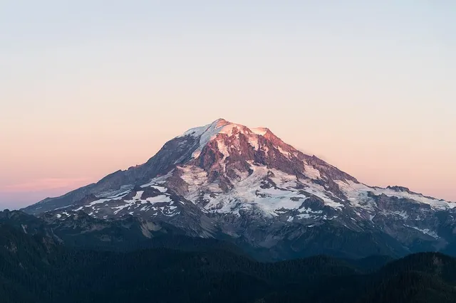
When Seattleites say “the Mountain is out,” they mean Mount Rainier, the enormous glaciated volcano about 95 km (59 mi) south-southeast of the city. Its official elevation is 4,392 m (14,411 ft), a figure on the books since the 1950s — though recent GPS surveys in 2024 and 2025 found the summit icecap has melted down enough that the highest point, now a rocky spot on the crater rim, measures closer to 4,389 m (14,399.6 ft). Either way, nothing else on an American city skyline comes close to this much vertical presence.
From downtown, look south on a clear day — from the waterfront, Kerry Park on Queen Anne Hill, or any high floor with a southern window. Rainier is so massive and so isolated that first-time visitors routinely mistake it for a cloud bank. You may also catch the jagged Olympics across Puget Sound to the west and the Cascades to the east, but Rainier is the skyline’s undisputed anchor.
Denver: the Front Range wall, with three named giants
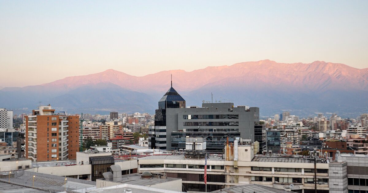
Denver sits on high plains at about 1,600 m (5,280 ft), and the Rockies rise as a long wall to the west — the Front Range. Three summits over 4,260 m (14,000 ft) are the ones to name. Mount Blue Sky — renamed from Mount Evans in 2023 — stands at 4,349 m (14,268 ft) almost due west and is the most obvious high point from much of the city. Longs Peak, 4,346 m (14,259 ft) with its distinctive flat-topped, blocky summit, marks the skyline to the northwest near Rocky Mountain National Park; it’s a favorite sighting from the 16th Street Mall. And on clear days you can pick out Pikes Peak, 4,302 m (14,115 ft), far to the south-southwest above Colorado Springs — over 100 km away.
Denver’s catch: the wall has dozens of summits, and moving a few blocks changes which ones you see. It’s the classic case where naming the exact peak by eye is genuinely hard.
Anchorage: the Chugach out the window, Denali on the horizon
Anchorage is the rare city that’s practically inside its mountain range. The Chugach Mountains rise directly behind town — Flattop Mountain, the front-row summit above the southern neighborhoods, is reportedly the most-climbed peak in Alaska because it’s essentially a city trailhead.
The showstopper, though, is Denali. North America’s highest mountain, 6,190 m (20,310 ft), is visible from Anchorage on clear days despite being about 210 km (130 mi) away to the north — from Point Woronzof, Earthquake Park, or Kincaid Park, looking across Knik Arm. That’s the trade-off: Denali is big enough to make its own weather, and in summer it can be shrouded in cloud up to a third of the time. When it does appear, a white mass floating above the horizon at that distance, people pull over.
Salt Lake City: the Wasatch Front, close enough to touch
Salt Lake City may have the most intimate big-mountain skyline in the country. The Wasatch Range rises immediately east of the valley — not on the horizon, but right there, filling the view at the end of east-west streets. The signature peak is Mount Olympus, 2,751 m (9,026 ft), whose steep, slabby north face is recognizable from practically anywhere in the Salt Lake Valley. Its distinctive double summit reads clearly from downtown; the south summit is the true high point, though the north one is what most of the valley sees.
Farther south along the range, higher summits like the Twin Peaks group and Lone Peak top out well above Olympus, but Olympus wins the skyline through sheer proximity and shape — a good reminder that the most prominent-looking peak from a city is often not the tallest one.
Portland: Mount Hood, a volcano framed by the city grid
Portland’s mountain is Mount Hood, Oregon’s highest point at 3,429 m (11,249 ft), about 80 km (50 mi) east of the city. It’s a classic stratovolcano cone — steep, white, satisfyingly symmetrical from most angles — and it forms the backdrop to the downtown skyline in every postcard shot of the city. On clear days you can also spot Mount St. Helens and Mount Adams across the Columbia River in Washington, which is exactly where mix-ups start: from some viewpoints the volcanoes stack up and people confidently name the wrong one.
Getting the name right in US cities with mountain views
Every city on this list has a catch. Denver’s wall of summits blurs together. Portland’s volcanoes get mistaken for each other. Anchorage’s horizon peak might be Denali or might be a closer Chugach summit. Even Seattle visitors ask whether that’s Rainier or “some other one.” The skyline is the easy part; the name is where it gets interesting — the same problem you hit trying to identify peaks from an airplane window, just with better footing.
That’s the moment Mountain Identifier is built for: point your camera at the skyline and get the peak’s name, elevation, prominence, and range — so “the Mountain is out” becomes “Rainier is out, all 4,392 metres of it.”
The real peaks
Genuine photographs of the summits above — so you know what to actually look for: