Look up the same famous peak in a guidebook, on a trail sign, and on your phone, and there’s a decent chance you’ll get three different numbers. Nobody is lying to you. So why do mountains have different elevations listed? Because “how high is this mountain” is a less precise question than it sounds, and it hides three separate choices: where zero is, what counts as the top, and when someone last measured.
Mountains have different elevations listed because surveys use different reference points and methods: sea-level datums differ between countries, some surveys measure the bare rock summit while others include the snow and ice on top, and modern resurveys revise older figures. Each published height answers a slightly different question, so good sources say which one they measured.
Why mountains have different elevations listed, problem one: where zero is
Every elevation is a distance above “sea level” — but the sea doesn’t hold still, and different countries have historically anchored their maps to different seas measured in different ways. A height is only meaningful relative to its datum, the agreed zero surface, and datums built from different tide gauges and geoid models don’t perfectly agree.
Everest is the classic case study. The Great Trigonometrical Survey of India announced 8,840 m in 1856; an Indian survey revised that to 8,848 m in 1955; China measured the rock summit at 8,844.43 m in 2005; and in December 2020 Nepal and China jointly announced 8,848.86 m (29,031.7 ft). Those figures differ partly because instruments improved — and partly because the surveys were answering subtly different questions against different reference surfaces.
For everyday purposes the datum differences are small — metres, not hundreds of metres. But they’re one reason two respectable modern sources can disagree by a metre or two while both being internally correct.
Problem two: rock or snow at the top
On a bare rock peak, the summit is the summit. On a glaciated one, there are two candidate answers: the top of the rock, and the top of the snow and ice sitting on the rock. Both are defensible; they can differ by many metres; and the snow answer changes over time.
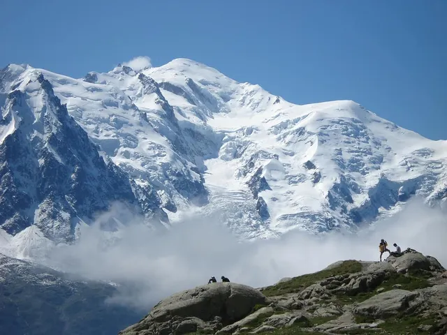
Mont Blanc is the textbook example, because French surveyors deliberately re-measure it every two years. Its summit is a snow dome: the rock beneath tops out around 4,792 m, but the official height is taken at the snow surface, which the wind and weather resculpt continuously. The September 2023 survey put it at 4,805.59 m (15,766 ft) — about 2.2 m lower than the 4,807.81 m measured in 2021. Neither figure is wrong. The mountain’s snow crest genuinely stood at different heights in those two years, which is exactly why the surveyors keep going back.
That’s also why Everest carries both a Chinese rock-height figure (8,844.43 m) and a joint snow-height figure (8,848.86 m) in the record books: they measure different surfaces of the same mountain.
Problem three: resurveys — the top can move
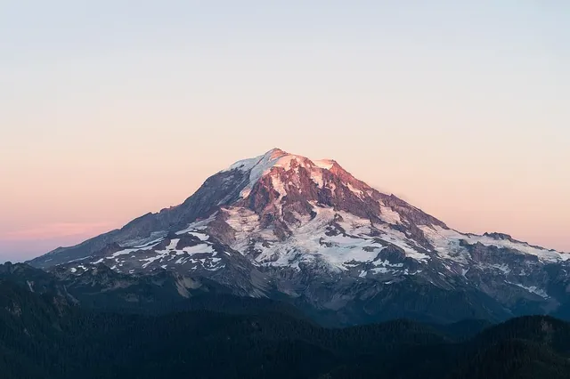
Mount Rainier shows the third mechanism in action. Its long-standing official elevation is 4,392 m (14,410 ft), measured at Columbia Crest, an icecap high point on the crater rim. But recent survey work led by Eric Gilbertson found that Columbia Crest has melted down by about 6.6 m (22 ft) since 1998 — enough that the mountain’s highest point is now a patch of bare rock on the southwest crater rim, measured at 4,389.0 m (14,399.6 ft). By that reckoning the summit didn’t just shrink; it moved, roughly a football field’s length to the southwest.
Worth keeping the hedge: the National Park Service has not changed the published 14,410 ft figure, and park geologists asked to review the study’s methods even while recording similar glacial thinning themselves. So right now Rainier legitimately has two defensible heights in circulation — the official one and the newer survey — and you’ll meet both in the wild. That’s not sloppiness; that’s how measurement revision looks mid-process.
Resurveys also correct plain old instrument limits. Many “canonical” heights date from triangulation done generations ago; GNSS receivers and drone photogrammetry now resolve summits to centimetres, and every so often a familiar number quietly gains or loses a metre when someone finally checks.
The habit: ask which measurement this is
Once you know the three failure modes, conflicting numbers stop being confusing and start being informative. When two sources disagree about a peak, ask:
- Which datum and survey? Older national surveys and modern GNSS work can differ by small amounts by design.
- Rock or snow? On glaciated summits, always check — this is the biggest single source of “contradictions.”
- Measured when? Snow domes breathe year to year; icecaps thin over decades; official figures lag new surveys.
A source that tells you which height it’s quoting — “2023 snow survey,” “rock summit,” “official NPS figure” — is a source you can trust. One that just asserts a number is asking you to guess.
Height is also only half the story of how big a mountain is; the other half is how far it rises above its surroundings, which is a different number with its own rules — see elevation vs prominence for that companion piece. When you identify a summit with the app, the figures you get are sourced with exactly this question in mind, so the number on your screen and the mountain in your viewfinder are telling the same story.
The real peaks
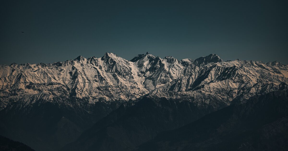
Genuine photographs of the summits above — so you know what to actually look for: